LOAFER'S LOG
Winter 2008
This is an article from WaveLength Magazine, available in print in North America and globally on the web.
To download a pdf copy of the magazine click here: > DOWNLOAD
by Ron Mumford
Excerpts from the log of Loafer II, the WaveLength crew’s mothership.
 |
 |
 |
 |
 |
 |
 |
 |
 |
 |
 |
 |
July 2007
Monday
Passing several cruise ships on the way, we headed up to our favorite port of call this morning—Port McNeill—to gas up, do the laundry (well equipped laundromat a block up from the gas dock), shower (clean showers and plenty of hot water in the port office beside the ferry terminal), shop (for groceries, gifts, fishing tackle, hardwear, etc.) and to indulge in a restaurant lunch. After our usual mad dash around town (“shop till you drop” definitely applies) we moved out of our temporary slip on the gas dock to make room for the next shoppers.
When we left the Pearse Islands, we were planning to head further north after refueling and taking on provisions in McNeill, but with wind and rain predicted, we decided to head over to Sointula on Malcolm Island to weather out the incoming low pressure system.
The calm at the small fishing village of Sointula was a stark contrast to the crowded docks, seaplanes and hustle and bustle of Port McNeill. The municipal docks, well protected by a breakwater, were quiet and had lots of space available. We plugged in to shore power and noted the water hose on the dock. Walking up to check in at the office, we found showers, laundry machines and the Burger Barn (fish & chips and burgers) at the head of the dock.
Tuesday
It was still raining and blowing this morning, so we stayed put and explored Sointula on foot. A twenty-minute walk along the waterfront road took us downtown, to a community of fewer than 1000 residents with restaurants, co-op grocery store and artisans’ studios and gift shops. We escaped the rain by drinking coffee in the Wild Islands Foods Café and Bakery, visiting Choyces Gifts & Gallery, and chatting with Rebekah Parlee in her very cool Boathouse Gallery.
Sointula was established by Finnish settlers in 1901 as a socialist commune, and residents today are proud of the history of their village named “place of harmony” in the Finnish language. We could have whiled away time at the museum as well, but missed the open hours (11 am to 3 pm daily in the summer).
Wednesday
After waiting out the wind and rain for two days, we headed north, past Pulteney Point Lighthouse on the northern tip of Malcolm Island, into Queen Charlotte Strait and then Goletas Channel. Turning right, we dropped in to visit Bill Weeks and Annie Ceschi at God’s Pocket on Hurst Island. God’s Pocket is primarily a diving resort with cabins nestled into an idyllic, protected cove, but Bill and Annie have joined forces with Terry and Nancy of Sea Kayak Adventures to offer kayakers comfortable accommodation and support to access this rugged part of Queen Charlotte Strait.
Bill told us that at least one sea otter had been spotted off Scarlett Point Lighthouse quite close to God’s Pocket, but when we motored past the lighthouse later and scanned the kelp beds, there was no sea otter sighting for us today.
From Scarlett Point we headed up the east coast of Balaclava Island to visit another diving/kayaking destination in the Gordon Islands—Browning Pass Hideaway—nestled in picturesque Clam Cove on Nigei Island. To get to this well protected cove, we cruised through a long, narrow channel before spotting a group of float houses to starboard. Run by John deBoeck, Browning Pass Hideaway Resort offers three cozy guest cottages for small groups and individuals, water taxi and kayak transport from Port Hardy, and experienced guide services and advice for paddlers and divers.
Thursday
We headed across the calm waters of Gordon Channel for our next destination, a group of islands located in the center of Queen Charlotte Strait—the Walker Group—part of the larger Deserters and Walker Group Conservation Area. The Walkers provide a protected anchorage located half way through the narrow channel that separates the two biggest islands, Kent and Staples Islands. On arrival, we tied up to a large yellow buoy in the center of the bay, left by a fish farm no longer in operation. This bay is a perfect anchorage for pleasure boats looking for a safe haven from which they can try their hand at fishing for halibut (we spotted several carcasses lying on the bottom below the boat) or as a lay-over before heading north across Queen Charlotte Sound.
Friday
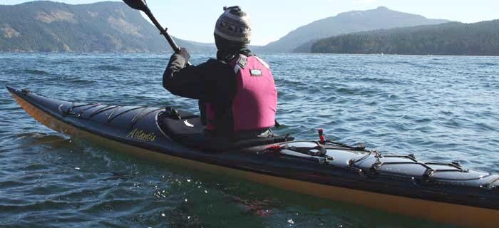
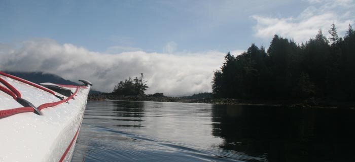
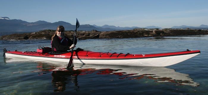
Despite gentle but persistent rain, we launched the kayaks and headed off for a paddle. Thanks to crystal clear water, we could see large spiny sea urchins nibbling on the holdfasts of giant bull kelp, colorful anemones clinging to rocky ledges and schools of shiny feed fish. Above the water, with the mist from the rising fog still hanging in the trees, eagles chattered to each other from lofty branches. In the distance and out of sight, we could hear the blows of a humpback whale.
Due to the Walkers’ proximity to Queen Charlotte Sound and the open Pacific, our kayaks rose and fell in a gentle ocean swell as we paddled long the east coast of Kent Island. Smaller rocks and islets provided numerous channels, nooks and crannies to poke our bows into. Perfect paddling country!
At low tide, Kent Island is one island; incoming tides flood shallow channels and lagoons to cut the island into two at higher tides. This created a circular route to explore, which ultimately led us back to our anchorage and the comfort of Loafer II.
Next year we will explore the Deserter Group of islands located across Shelter Passage just south of the Walkers, but tomorrow we’ll head for Shelter Bay on the mainland.




 This site uses valid HTML, CSS and Flash. All content Copyright © 2010 Wild Coast Publishing.